YieldSense
Accurate harvest data for spatial management
Equipped for
Better Harvest Data
Better results.
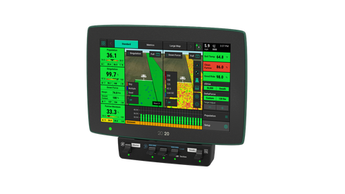
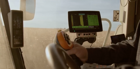
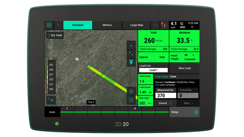
High-Visibility From the Cab
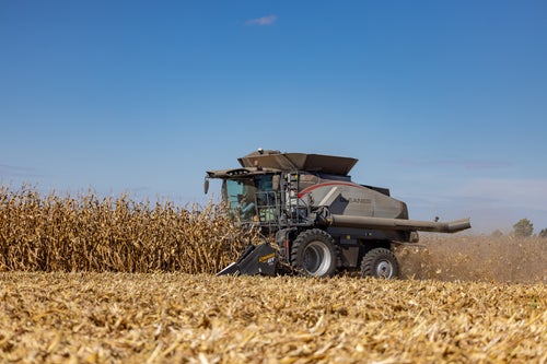
Accurate yield information is one of the most valuable decision tools in any farming operation. YieldSense uses the 20|20 to give you high-definition visibility and control over your yield data. It collects data as you pass through the field that you can use post-harvest to analyze the growing season.
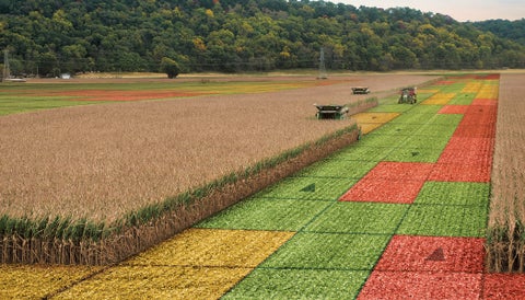
Spatial Accuracy Matters
Getting accurate yield data on a field level is helpful, but traditional calibrations are so time-consuming they are rarely done often enough to provide spatial accuracy. YieldSense is spatially accurate, can be done during normal operation, and provides the best information for the best decisions.
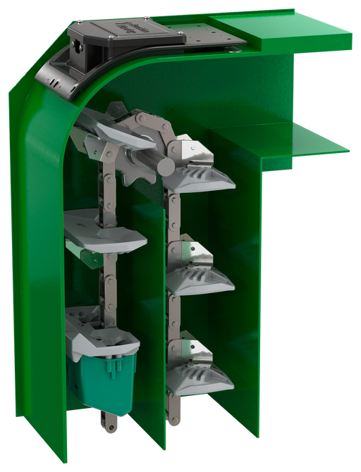
Why it Works
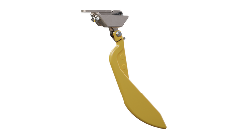
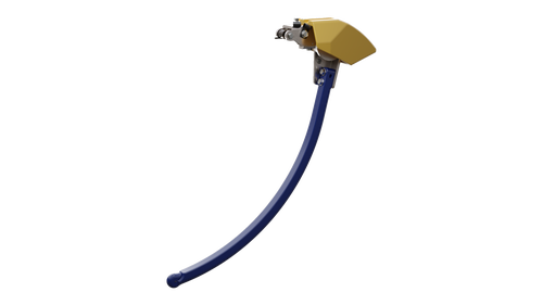
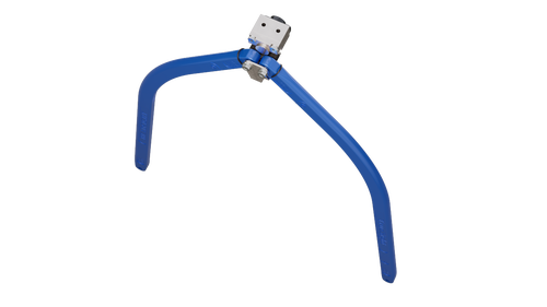
YieldSense uses a flow sensor at the very top of the clean grain elevator to measure all of the crop as it comes off the paddle. Traditional flow sensors don't measure all of the crop and calculate yield improperly as a result. YieldSense also uses a specially shaped clean grain paddle so that the grain comes off of the paddle consistently. When grain is moving correctly across the flow sensor, variances in flow can easily be measured.
Setup is Simple
YieldSense is simple to use. One calibration per crop, per season, is all you need to get started. Our unique grain property kit keeps the sensor calibrated as you change hybrids, varieties, and moistures within a field, and from field to field.
Frequently Asked Questions
See 20|20
Take Control of the Data You Collect
And how you view it.
Yield
Consistent and spatially accurate yield data coming from the grain harvested.
- “Instant Dry Yield” value represents yield at your current position and is based on a three second average.
- “Field Average Yield” is the average dry yield for the entire field.
Moisture
The moisture box displays two values measured by the moisture sensor.
- "Instant" represents the moisture of the grain at your current position and is based on a three second average.
- "Field Average" is the average of moisture for the entire field.
Summary
Once you’re done harvesting you can find the following summarized data:
- Total field acres covered.
- Individual data of yield, moisture, total bushels, and pounds harvested.
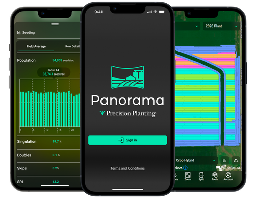
Panorama
Do More With Your Data in Panorama
See your 20|20 data on your phone, computer, or platform of choice.
Product Resources
YieldSense Resources
Download operation manuals and setup guides here!